Cedar Park Elite Concrete works as a concrete contractor in Barton Creek, TX, and every project here begins with the same question: how much hard surface does this lot have left. More than 20 years of pouring around Central Texas has taught us that most places treat a cover limit as a design guideline that bends when a good argument turns up.
Here it does not bend. The ceiling that applies to this place is fixed, it is computed on a smaller number than your deed acreage, and the code that sets it prohibits variances outright. There is no application to make and no case to argue, which means the arithmetic has to be right at the beginning rather than negotiated at the end.
That is genuinely useful once you accept it. A fixed budget makes the design conversation concrete: what you spend the remaining square footage on becomes a real choice between a wider drive, a bigger patio and a pool surround, rather than a wish list that gets trimmed later.
The Ceiling, and Why It Does Not Move
A Fixed Percentage for This Watershed
The Save Our Springs regulations set impervious cover at 20 percent of net site area for development in the Barton Creek portion of the contributing zone. The same framework sets 15 percent in the recharge zone and 25 percent in the other contributing-zone creeks, so the figure that applies to you depends on which watershed your lot drains to rather than on your zoning.
Every one of the 44 points sampled inside this place returned the Barton Springs Zone, the Barton Creek watershed and the contributing zone together, and every one also returned the Drinking Water Protection Zone. This is not a place where the stricter rule applies to part of the community.
No Variance Route Exists
Land Development Code Section 25-8-515 prohibits variances from the ordinance outright. That single sentence removes the entire category of remedy that owners and designers reach for elsewhere, and it is the reason we will not tell you a number is probably fine.
The only relief that exists is narrow and does not apply to a homeowner adding a patio: a site-specific amendment adopted by ordinance, or the redevelopment exception at Section 25-8-26 for existing commercial property. That exception carries conditions of its own — the redevelopment may not increase impervious cover, it needs a Barton Springs Zone operating permit for both sedimentation and filtration ponds and for the water quality ponds, it requires those ponds for the entire site where cover is 40 percent or less of net site area, and it needs City Council approval where the site sits outside the city’s zoning jurisdiction, which this place does.
What That Means for a Quote
We measure what is already on the lot before pricing anything that adds to it, and we do it as part of quoting rather than as an extra step. A driveway, a walkway, a shed slab and a patio poured across three different years are one number to this ordinance, and it is the last project that discovers the ceiling.
Where a lot is already at or near its limit, the honest answer is sometimes that the project cannot be built as drawn. We would rather say that in the first conversation than take a deposit on a design that has nowhere to go.
Looking for concrete-contractor closer to Bee Cave? See Concrete-Contractor Services in Bee Cave.
Net Site Area, and the Land That Does Not Count
Why Deed Acreage Is Not the Number
Net site area counts only the uplands. It excludes the critical water quality zone and the water quality transition zone, which are the bands of land along the creek and its drainageways.
A creekside lot’s allowance is therefore computed on less land than its deed area, sometimes considerably less. Two lots of identical size can carry very different amounts of concrete depending on how much of each one falls inside those excluded zones, and that difference is not visible from the street.
The Creek Corridor Itself
Two of five sample points inside this place fall in mixed alluvial land on 0 to 1 percent slopes, frequently flooded — a single layer from 0 to 122 centimeters running 90 percent sand and 5 percent clay, with a plasticity index of 2. That corridor is a flood-exposed sand and gravel strip rather than a building subgrade.
It is excluded from the arithmetic for good reason and it should be excluded from your plans for a second one. Flatwork placed there is exposed to flow, and the material underneath it offers very little to build on.
Establishing the Line Before Design
Because the excluded zones drive the whole calculation, locating them is the first survey question rather than an afterthought. We want that boundary established before a footprint is drawn, since a patio that overlaps the transition zone is not a patio that gets trimmed — it is a design that starts again.
Adding Hardscape to a Lot Near Its Limit
Spending a Fixed Budget Well
When the remaining allowance is small, the design question becomes which surface earns it. A generous patio and a wide turnaround cannot both happen, and deciding deliberately produces a better result than letting the drive absorb the budget by default because it was built first.
We will lay out the options with real square footages attached, so the trade-off is visible. That conversation takes an hour and it is the most valuable hour on a project like this.
Reworking Rather Than Adding
Where the ceiling is already reached, the useful work is often replacement rather than expansion — taking out surface that is not earning its allocation and putting it back where it is actually wanted. A driveway wider than it needs to be is stored budget, and reclaiming it can fund the patio a lot would otherwise never support.
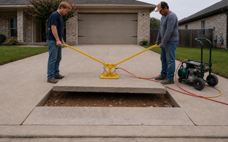
Repair also sits comfortably inside the constraint. Resurfacing, partial-depth repair, joint resealing and lifting a settled slab all improve what you have without changing the number the ordinance cares about.
The Ground You Are Building On
Two very different subgrades sit inside this place, and a base spec that suits one is wrong for the other. The center is a Brackett-dominated unit at 68 percent Brackett with 20 percent bare rock outcrop, carrying weathered, rippable material at a representative 46 centimeters, while the west side is Volente silty clay loam running to 150 centimeters with no bedrock restriction recorded at all.
The numbers behind them have to travel in pairs. Volente carries a plasticity index of 24 to 29 at 36 to 43 percent clay with linear extensibility of 4.3 to 5.6 percent and only 3 to 8 percent calcium carbonate, while Brackett runs a plasticity index of 17 to 18 at 30 percent clay with linear extensibility of 2.3 to 3.3 percent because those profiles are 60 to 65 percent carbonate. The shallow, high-carbonate ground barely moves; the deep terrace soil moves more and never stops on anything. A joint layout and a base that suit one are wrong for the other, and both are inside this one place.
Permits, Approaches and the State Layer
Approaches, and Whether Your Road Is Public
A driveway approach onto a maintained Travis County road requires a county permit and must be paved with concrete, at 12 feet minimum and 25 feet maximum width at the property or right-of-way line, approximately 90 degrees to the road, at a maximum grade of 15 percent and a maximum 2 percent slope where a sidewalk crosses. A pre-pour inspection is required before concrete is placed, and missing it, or building to something other than the approved permit, may result in a notice to remove and replace.
On the gated club and resort streets inside this place the drive may not be public right-of-way at all. Where that is so, no county permit applies and the private road owner’s approval governs instead — and the county does not issue permits for driveways connecting to unmaintained or unaccepted roads in any case.
Retaining Walls on Sloping Ground
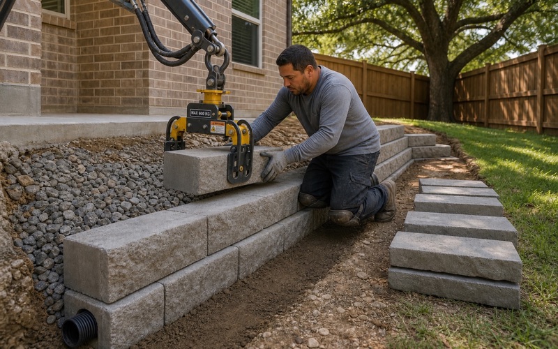
Travis County requires a residential retaining wall permit with a site plan showing wall type and location, top and bottom elevations, an erosion and sedimentation control plan, and all easements and setbacks. A wall over 5 feet tall requires that plan sealed by a Texas licensed engineer.
On ground mapped at 8 to 30 percent slopes that threshold is a live one rather than theoretical. Terracing a hillside for usable outdoor space frequently crosses it, and the engineering belongs in the budget from the start.
The State Review Above the City One
There is a further layer above the local rules. Building over the contributing zone requires an aquifer protection plan reviewed and approved by the state before construction starts, with administrative review taking up to 30 days and technical review of a complete application up to 90 days.
Those timelines belong in a schedule rather than in a surprise. Work that cuts pavement in county right-of-way also carries a restoration bond of $5,000 minimum for 100 linear feet of pavement cut, or 500 linear feet outside the pavement, one year in duration and executed by a Texas-authorized surety, with the cut restored to city standards and a pre-construction meeting requested 48 hours ahead.
- 20+ Years Pouring Concrete
- Registered & Insured
- We Pour Our Own Jobs