Cedar Park Elite Concrete works as a concrete contractor in Lost Creek, TX, and this is a small place that behaves like three different ones underground. More than 20 years of pouring in this region has taught us to distrust any excavation number given for a neighborhood rather than for a lot, and nowhere in our service area punishes that shortcut faster.
The variation is not gradual either. A trench that runs easily across one property can stop dead on hard rock a few inches down on the property beside it, and neither owner has any way of knowing that from looking at the ground. Slope, vegetation and the look of the surface are all poor predictors of it, which is why we treat a neighbor’s excavation experience as background rather than as evidence.
There is also no municipal building department here to arbitrate any of it. The approvals that actually gate a job come from the county for some work and from a deed restriction document for the rest, and knowing which applies is part of what we sort out before quoting. That absence is not a loophole. It means the decision-making sits in documents rather than with an inspector, and the documents are specific.
Three Different Grounds Inside One Neighborhood
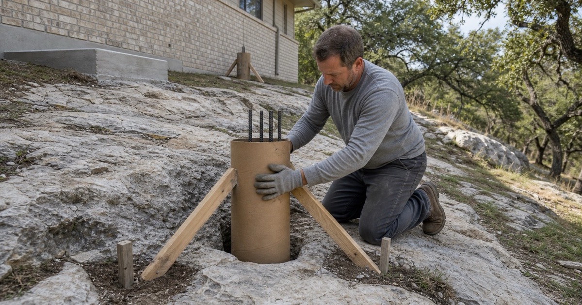
Rippable Marl Under Most of the Place
The dominant mapping across this place is the Brackett-Rock outcrop-Real complex on slopes of 8 to 30 percent, which is 38 percent Brackett, 25 percent bare rock outcrop, 22 percent Real and 10 percent Eckrant. Brackett and Real both carry weakly coherent paralithic bedrock at a representative 36 centimeters, about 14 inches. Those three named components behave differently enough that the average of them describes no actual lot.
That is weathered marl a machine can rip, which makes it workable ground with a shallow ceiling. The complication in the same unit is the quarter of it mapped as bare rock outcrop — one acre in four is rock at the surface, and that is a bidding fact before it is a construction fact. Bare rock does not appear neatly at the edges of a property either; it turns up wherever it turns up, and a patio footprint can straddle both conditions.
Indurated Rock at 8 Inches
Where Eckrant very stony clay is mapped, on slopes of 5 to 18 percent, the restriction is different in kind rather than in degree: indurated lithic bedrock at a representative 20 centimeters, about 8 inches. That is not rippable. Indurated means the material has to be broken rather than cut, which changes the machine, the day rate and sometimes the access required to get equipment in.
The distance between those two conditions can be a property line. A footing trench, a thickened edge or a drainage cut that is routine on the Brackett side becomes breaking work on the Eckrant side, and the price difference is real rather than a markup.
The Alluvial Strip Along the Creek
The Barton Creek corridor through this place maps as mixed alluvial land on 0 to 1 percent slopes, frequently flooded — a single layer from 0 to 122 centimeters running 90 percent sand and 5 percent clay, with a plasticity index of 2.
Bearing, drainage and flood exposure in that strip have nothing in common with the uplands a few hundred feet away. Flatwork there is a different design problem, and treating it as though it were the same neighborhood is how a slab ends up undermined.
Looking for concrete-contractor closer to Lakeway? See Concrete-Contractor in Lakeway.
Why a Plasticity Index Alone Misdescribes This Place
What the Dominant Soils Actually Do Seasonally
Brackett’s horizons carry a representative plasticity index of 17 to 18 at 30 percent clay, and Real 14 to 15 at 25 percent clay. Read alone, those numbers suggest ground that moves. A contractor pricing reinforcement from that figure alone would be designing for movement this ground does not produce.
The linear extensibility says otherwise: only 2.3 to 3.3 percent in Brackett and 0.8 to 1.9 percent in Real, because both profiles run 55 to 65 percent calcium carbonate. The dominant soils here barely move seasonally, and designing them as though they were prairie clay spends money on the wrong risk.
Where the Expansive Threshold Is Actually Cleared
Eckrant is the exception, and it sits on the east side. Its A horizons carry a representative plasticity index of 34 and a liquid limit of 63 at 50 percent clay, with linear extensibility of 3.1 to 4.4 percent.
The IRC uses a plasticity index of 15 or more to classify a soil as expansive, so Eckrant clears that threshold comfortably while Brackett and Real sit near it with almost no measured shrink-swell. Which of those is under your slab changes the reinforcement conversation.
Slope as the Working Constraint
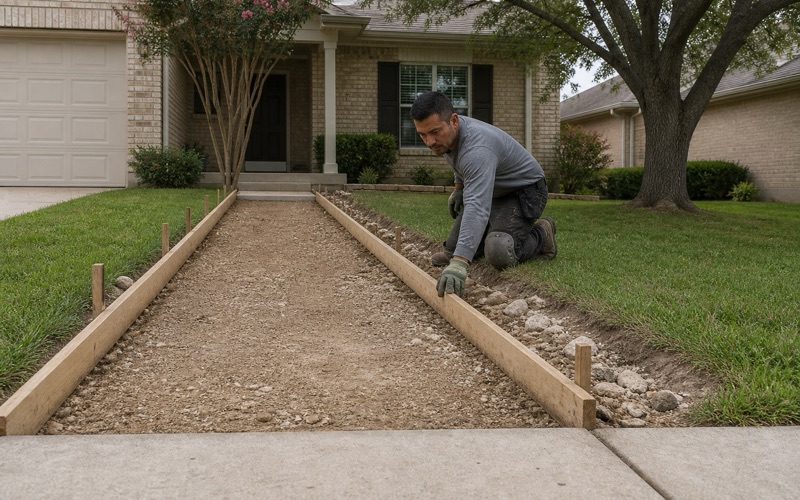
The dominant unit is rated 8 to 30 percent slope and the Eckrant unit 5 to 18 percent, so driveways, patios and walks here are cut-and-fill work on grade rather than flat pours. Stepped or terraced flatwork with retaining is the normal shape of a job. Every cubic yard of cut has to go somewhere as well, and haul-off on a steep, narrow lot is its own line rather than a rounding error.
That is worth budgeting for honestly. A patio on this ground is frequently a small retaining project with a slab on top, and quoting it as a flat pour is how a number doubles later.
Who Approves the Work Here
County Permits for Driveways and Retaining Walls
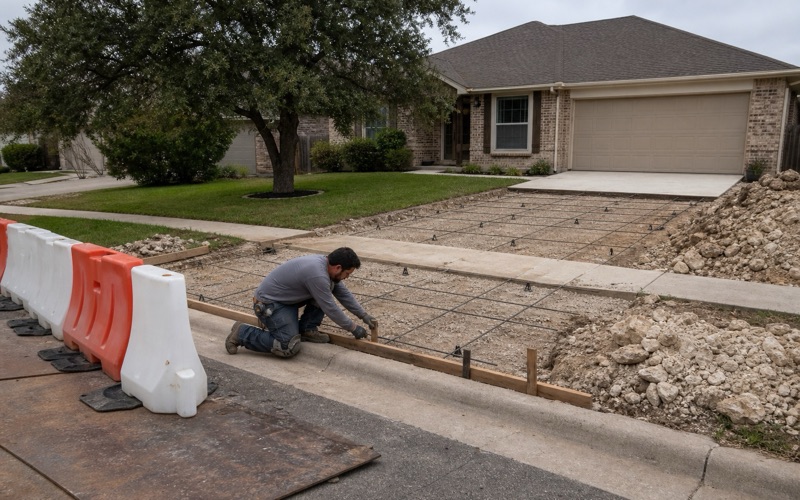
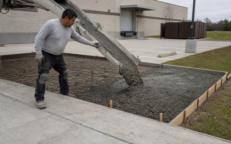
A driveway approach onto a maintained Travis County road takes a county permit, and approaches must be paved with concrete. Residential approaches run a minimum 12 feet and a maximum 25 feet wide at the property or right-of-way line, at an angle of approximately 90 degrees, with a maximum grade of 15 percent and a maximum 2 percent slope where a sidewalk crosses. A pre-pour inspection is required after approval and before concrete is placed, and the county states that missing it, or building to something other than the approved permit, may result in a notice to remove and replace. We book the pre-pour inspection when the permit issues rather than when the forms are ready, because the county’s calendar is the constraint rather than ours.
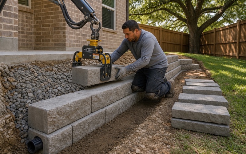
A residential retaining wall is its own county permit. The application needs a site plan showing all existing and proposed improvements, the type and location of each wall, top and bottom elevations, an erosion and sedimentation control plan, and all easements and setbacks — and a wall over 5 feet tall requires that plan sealed by a Texas licensed engineer.
The Foundation Inspection a Builder Hires
Foundation work here is inspected, but not by a public inspector. Travis County Code Chapter 480 requires a foundation-stage inspection before concrete is placed for new residential construction, and for an addition that increases square footage or value by more than 50 percent.
The inspection is performed by a licensed engineer, registered architect, TREC-licensed professional inspector, municipal plumbing inspector, political-subdivision building inspector or ICC-certified residential combination inspector, and the report is filed with the county within 10 days of final inspection. The builder arranges and pays for it, which is a distinction worth understanding.
Deed Restrictions, and What They Actually Control
For a patio, walkway, porch slab or slab replacement outside the right-of-way there is no county permit and no municipal permit. What gates that work is the deed restriction and architectural control document for the lot’s own section, and more than a dozen such documents govern different parts of this place. That surprises owners who expect a public inspector to be the authority, and it means the approval you need may be held by a volunteer board rather than an office.
They are not interchangeable. We establish which document covers your lot before scoping the work, because two neighbors can genuinely be operating under different rules about the same kind of slab.
Pricing Excavation Lot by Lot
What We Do Before Quoting
We open the ground. Before a number goes on paper for anything with depth in it, we find out where refusal is on your lot and what kind of material is waiting there, because on this ground that single fact moves the price more than the concrete does. On a lot where the answer turns out to be Brackett at 14 inches, that hour saves you money; where it turns out to be rock at 8 inches, it saves you a dispute.
An hour spent probing is the difference between a quote that holds and a quote that gets revised once the machine arrives. Any number given here without someone looking is a guess wearing a decimal point.
Right-of-Way Work and the Restoration Bond
Work inside the public right-of-way that cuts pavement carries fiscal security. The county’s right-of-way and utility installation permit requires a restoration bond with a $5,000 minimum covering 100 linear feet of pavement cut, or 500 linear feet of cut outside the pavement, made out to Travis County, one year in duration and executed by a surety authorized in Texas, with larger projects bonded to an amount the county determines.
The cut has to be restored to City of Austin standards and specifications, and a pre-construction meeting is requested at least 48 hours before work starts. That is a lead time, and it belongs in the schedule rather than in a surprise.
Utilities That Belong to Somebody Else
One quirk of this place is worth knowing before anybody digs: water and wastewater service is Austin Water and electricity is Austin Energy, even though the place sits outside that city. A service line, meter box or cleanout turned up during excavation therefore belongs to a utility whose street and permits are not the ones governing your job.
Waste handling differs too. Trash and recycling here run on a private subscription rather than a municipal route, which changes how demolition debris and concrete washout get handled on a residential job.
- 20+ Years Pouring Concrete
- Registered & Insured
- We Pour Our Own Jobs