Cedar Park Elite Concrete works as a concrete contractor in Manchaca, TX, and this is the place in our service area where the ground does what the soil tests say it does. That sounds like a strange thing to point out, and it is the single most useful fact about working here.
Across most of this region, the clays test high on a plasticity index and then move far less than that number implies, because the profiles are loaded with calcium carbonate that holds them still. More than 20 years of pouring around Central Texas has taught us to expect that gap and to design for the measured movement rather than the headline figure.
At the center of this place that gap closes. The clay here carries almost no carbonate, so the movement is not suppressed and both measurements point the same way. A slab designed here to the standard we would use a few miles west would be under-built, and that is worth saying plainly. It is a rare case where the conservative assumption and the measured one agree, and building to it is not optional.
Why a Plasticity Index Alone Does Not Tell You Whether Ground Moves
Two Numbers, and Why Both Are Needed
A plasticity index describes how a soil behaves across a range of moisture in a laboratory. Linear extensibility describes how much the soil actually changes volume between wet and dry. They are related and they are not interchangeable, and it is entirely normal in this region for the first to look alarming while the second is modest.
Quoting one without the other is how a slab ends up specified wrongly in either direction. We read both figures for the mapped unit under the specific property, which takes minutes and is the difference between a design that fits the ground and one that fits a reputation. Overbuilding costs money once; underbuilding costs it repeatedly, and on this ground the second is the likelier error.
The Center of This Place Moves
The center is mapped as Crawford clay on 0 to 1 percent slopes, at 88 percent Crawford. Its surface horizon carries a representative plasticity index of 36 and a liquid limit of 64 at 50 percent clay, and the horizon below it a plasticity index of 37 and liquid limit of 65.
The linear extensibility on those two horizons is 10 and 11 percent, and the calcium carbonate content is 1 percent. That is the whole story in two numbers: nothing is holding this profile still, so the movement the plasticity index suggests is movement the ground actually delivers. Eleven percent is high by any standard applied in this region, and it is measured rather than inferred.
Nearly a Meter of Active Clay
Crawford carries hard bedrock at a representative 81 centimeters, roughly 32 inches, with the slickenside horizon running the full distance from 15 centimeters down to it. Slickensides are the polished surfaces clay develops when it has been shearing against itself through repeated swelling and shrinking, and they are physical evidence of the movement rather than an inference from a lab number.
A slab at the center of this place therefore sits on close to a meter of active clay rather than on rock a foot down. Everything about how it is reinforced, jointed and drained follows from that. There is no shallow bearing layer available to sidestep the problem, so the slab has to be designed to live with it.
Looking for concrete-contractor closer to Garfield? See Concrete-Contractor in Garfield.
Carbonate, and What It Does to Shrink and Swell
The West Side Behaves Differently
A point query on the west side returns Denton silty clay on 1 to 3 percent slopes at 88 percent Denton. Its horizons carry a representative plasticity index of 32, 30, 30 and 26 from the surface down to 91 centimeters at 41 to 46 percent clay — numbers close enough to Crawford’s that a contractor reading only that column would treat the two soils identically.
The linear extensibility figures are 6.1, 5.6, 5.6 and 3.3 percent, because calcium carbonate climbs from 10 percent at the surface to 60 percent in the lower horizons. Measured movement between the two sides of this small place differs by roughly a factor of two, and the plasticity index does not reveal it. Two neighbors on opposite sides of this small place are genuinely building on different problems.
A Third Condition in the Northeast
The northeast corner is different again. It returns Castephen silty clay loam on 1 to 3 percent slopes at 95 percent Castephen: a single layer from 0 to 43 centimeters at a plasticity index of 27 and 33.5 percent clay, with linear extensibility of 4.5 percent and 55 percent calcium carbonate, over weakly coherent bedrock at 43 centimeters.
So within one small community there is knee-deep weathered rock on one side and three feet of active clay on the other. That is not a subtlety a general local reputation captures, and it is why we quote from the mapped unit rather than from the name of the place. We look the unit up for the parcel rather than relying on what worked for a job down the road.
The Creek Bottoms Are Neither
Two of five sample points fall in mixed alluvial land on 0 to 1 percent slopes, frequently flooded — a single layer from 0 to 122 centimeters at 90 percent sand and 5 percent clay, with a plasticity index of 2.
The creek bottoms through this place are sand and gravel with a genuine flood condition attached, not clay at all. Bearing, drainage and exposure there have nothing in common with either of the upland conditions, and flatwork placed there is a different design problem entirely.
Building on Ground That Genuinely Moves
Drainage Is the First Line of Defense
Slopes across this place run 0 to 3 percent, so this is flat ground where drainage falls rather than grade are the design problem. A slab on Crawford clay at 0 to 1 percent has nowhere to shed water except where the contractor decides to put it.
That matters more here than on stiller ground, because differential moisture is what drives differential movement. A slab kept evenly damp or evenly dry moves more or less as one piece; a slab wet along one edge and dry along the other is the one that cracks, and the difference is usually a downspout, an irrigation line or a bed watered daily against the concrete. Fixing the moisture pattern is usually cheaper than anything we could do to the concrete itself.
Jointing and Reinforcement for Real Movement
On a soil that moves, the design job is to control where the relief happens rather than to prevent it. Sawcut control joints go in on a spacing that suits the slab thickness and are cut in the window where they actually relieve stress, and isolation joints keep the flatwork free of the house so the two can move independently.
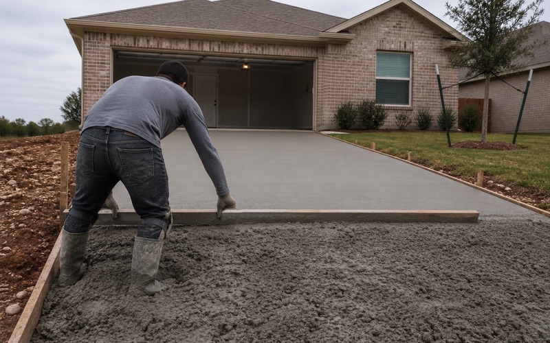
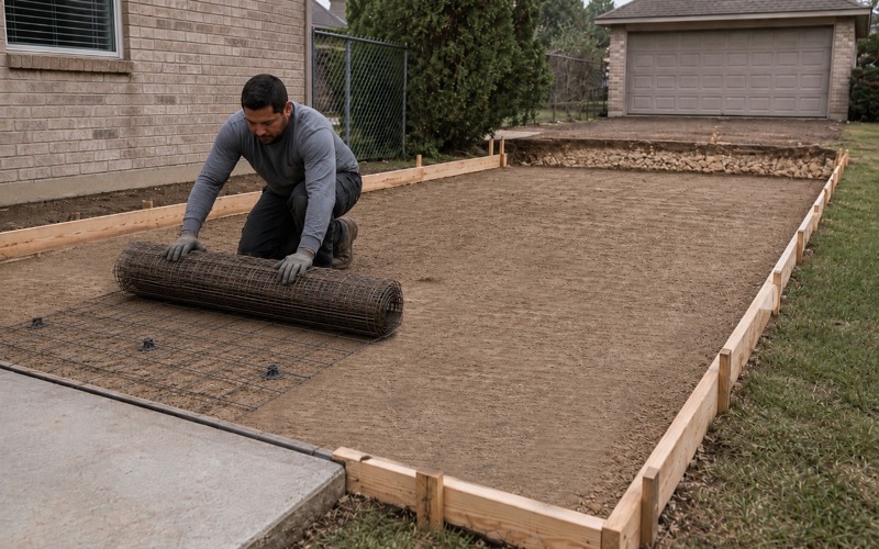
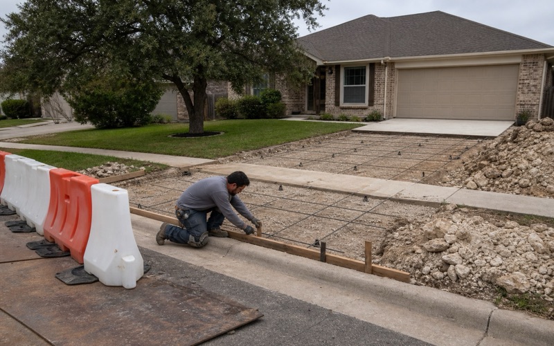
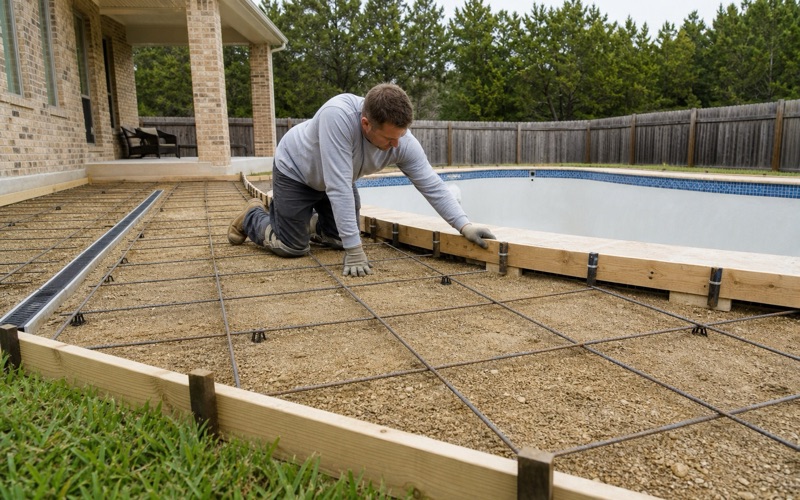
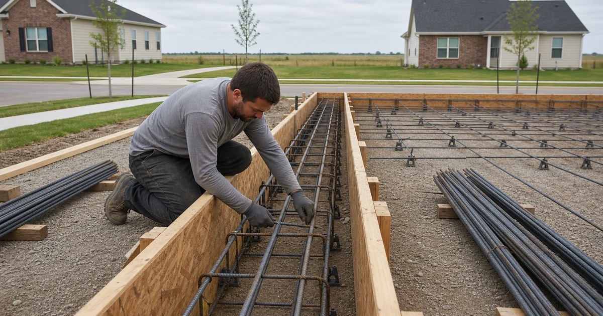
Reinforcement placement matters as much as reinforcement quantity. Steel dragging along the bottom of a slab does very little, so it goes on chairs at the specified height and stays there through the pour — which is ordinary good practice everywhere and is not optional on ground with 11 percent linear extensibility. It is also the single easiest thing to skip invisibly, which is why we would rather have it looked at before the pour than argued about afterward.
Leveling a Slab That Has Actually Settled
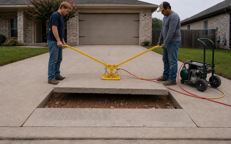
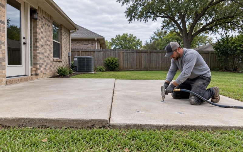
Because the movement here is real, we see genuine settlement rather than only surface defects, and that makes leveling a serious option rather than a cosmetic one. Lifting a sound slab back to grade costs a fraction of tearing it out, and a great deal of the flatwork we look at is sound concrete that has moved.
What we will not do is lift a slab without establishing why it dropped. On this ground the cause is frequently a moisture pattern that will still be there afterward, and a lift that ignores it buys a year rather than a repair. Identifying the cause is part of the quote rather than an extra we charge for separately.
Floodplain Rules That Reach Ordinary Work
Compensatory Storage and No Rise
Travis County’s floodplain chapter reaches more residential work than people expect. New development or substantial improvement in the 0.2 percent or 1 percent annual chance floodplain may not increase erosive water velocity on or off site, and fill or structure placed below base flood elevation must be balanced by a hydraulically equivalent volume of excavation below that elevation, constructed to drain freely to the watercourse.
There is a no-rise requirement alongside it. No new construction, substantial improvement or other development — including cut or fill — is permitted in the mapped zones unless engineering data show no increase in water surface elevation on adjacent properties or anywhere in the county, with a conditional map revision approved federally.
What That Means for a Patio or a Pad
The phrase to notice is “including cut or fill”. Raising a low corner of a yard to level a patio is fill, whatever it is called on an invoice, and inside a mapped zone that is a regulated act rather than landscaping.
We establish where the mapped boundary sits relative to the work before designing a grade. It is a lookup rather than an investigation, and it prevents the worst version of this problem, which is discovering the requirement after the ground has already been moved. Where the work does fall inside a mapped zone, the requirements are workable but they have to be designed for rather than discovered.
The State Layer Here
One jurisdictional note worth getting right, because it is commonly misstated for this area: the state’s regulatory map returns the Edwards Aquifer Transition Zone at the center and west of this place and no zone at all in the northeast. The place straddles the outer boundary of the regulated area rather than sitting inside its strictest tier.
That distinction changes what applies to your address, and it is a per-lot question rather than a community-wide one. We check it rather than importing an answer from a neighboring community where the rules are genuinely different.
- 20+ Years Pouring Concrete
- Registered & Insured
- We Pour Our Own Jobs